Hike to Volcanic Eruption Sites & Reykjanes Tour
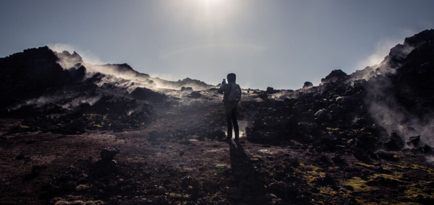
Our Volcano hike and Geothermal tour is a great introduction to the impact volcanic activity has had on the landscape of Iceland. This tour explores the Reykjanes Peninsula which is located a short drive from the capital Reykjavík. The peninsula is situated on the fissure line of the mid-Atlantic ridge which is the cause of all the eruptions, earthquakes, and other seismic activity in the region. This tour offers a chance to experience geothermal wonders, natural phenomena, and places of stunning beauty.
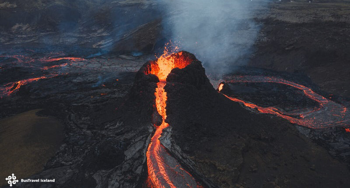
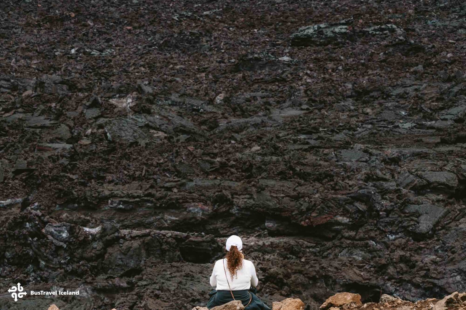
The tour’s highlight is hiking in the area of the recent eruptions from 2021 until today near Fagradalsfjall Volcano. The eruption in July 2023 took place close by, at Litli Hrutur and the newest eruption is also in the vicinity of the Sundhnukagigar Volcano eruption site which erupted in December 2023.
Along with this magnificent volcano site, our experienced and knowledgeable guides will take you to some of the other highlights that Reykjanes Peninsula has to offer. These include the boiling waters and steamy, sulphuric air of the Seltún geothermal area and Gunnuhver hot springs, a walk between the American and Euroasian continental plates at the Bridge between Continents, the dramatic black sand beaches of Kleifarvatn Lakel, and an excellent photo opportunity of the distant Reykjanesviti lighthouse. The compact nature of the peninsula means that you fit a lot into this 10-hour day tour.
*Please kindly note that Kleifarvatn lake and Seltun Geothermal area are not guaranteed stops.
We also have a volcano tour which includes The Blue Lagoon instead of Reykjanes Peninsula sightseeing.

Tour highlights & itinerary
- Experienced guide for the tour and hike
- Wi-fi on board
- Hike near the Fagradalsfjall & Meradalir Volcanoes
- Parking and admission fees
- Headlamp
- Meals
- It is essential that you dress properly for this hike. A thermal base layer and waterproof outer layer are recommended. Jeans are a bad idea as if it rains they will stay wet for hours and you risk hypothermia. You may be turned away if not dressed correctly for a hike
- Good sturdy walking shoes, preferrable with ankle support
- Water and snacks for the hike
- Hiking poles are recommended, they can also be rented from BusTravel Iceland
- The duration of the tour is around 9 hours. The hike to the volcano takes can take up to 2 hours.
- Tour duration is estimated as conditions and trails can vary.
- We reserve the right to alter the hiking route & stops taken depending on the conditions.
- Volcanoes are a natural phenomenon and even if the volcano is not erupting during your visit, visiting the area is still fascinating.
- Cancellation policy: Cancellation fee of 100% if cancelled 1 day or less before departure
Travelers reviews
Write a review
Share your experience with others.
Itinerary
Itinerary
 Pick-upCentral Reykjavik
Join the tour at our central Reykjavík meeting point or pay extra for pickup from various approved locations throughout the downtown area. When everyone is on board our comfortable minibus we will then depart from the capital, and begin our exciting road trip with an experienced, knowledgeable tour guide.

1 Lake Kleifarvatn(Depending on the duration of the volcano hike, we may skip this stop)
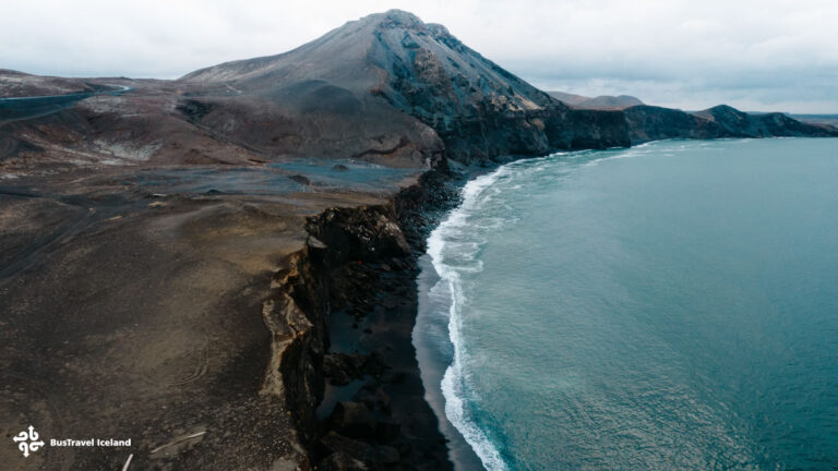
Our first stop of the day is at Lake Kleifarvatn, the biggest lake in the volcanic Reykjanes Peninsula. The lake is surrounded by fascinating geological features such as palagonite and sandstone mountains, formed in ancient subglacial volcanic eruptions.
The lake is rimmed with black basalt beaches and beautiful rock formations sculpted by weather elements throughout the centuries. Kleifarvatn has been severely affected by seismic activity in recent years which led to the lake partially draining. This activity also created a new hot spring in one corner of the lake. The Lake’s folklore gives this stunning place an extra mysterious feeling.
2 Seltún Geothermal Area(Depending on the duration of the volcano hike, we may skip this stop.)
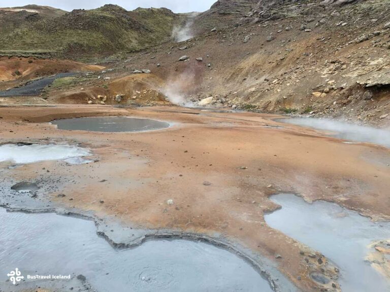
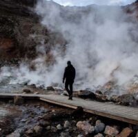
Our next stop is at Seltún, where you can view the effect that geothermal waters can have on an environment. Here one can walk along wooden paths winding between boiling and hissing mud pools and streams of natural hot water flowing over the colorful ground and rock. The air is thick with the smell of sulfur emitted from these hot springs. Beneath the surface, the hot water dissolves minerals such as sulfur from the rocks and ground soil, leading to this distinctive stench. Two viewing platforms overhang the area allowing you a 360-degree point of view over the area.

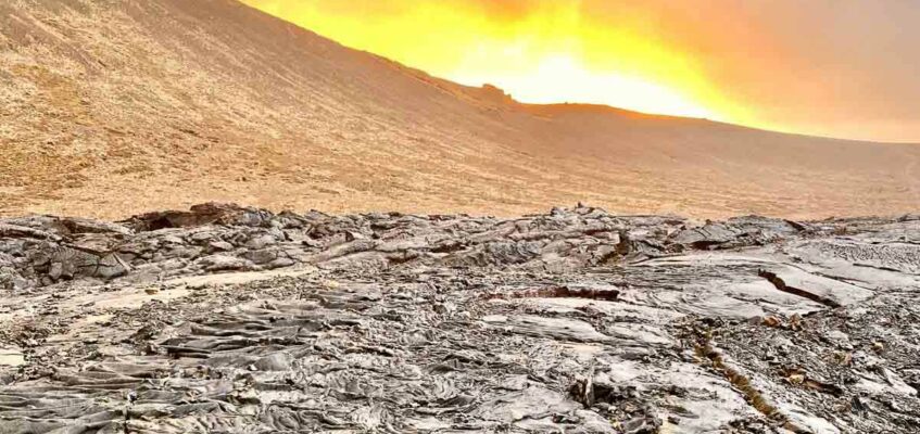
3 Volcano HikeWe now reach the main event – hiking to the new volcano eruption site. Normally volcanic eruptions in Iceland occur in very remote and difficult-to-reach locations.
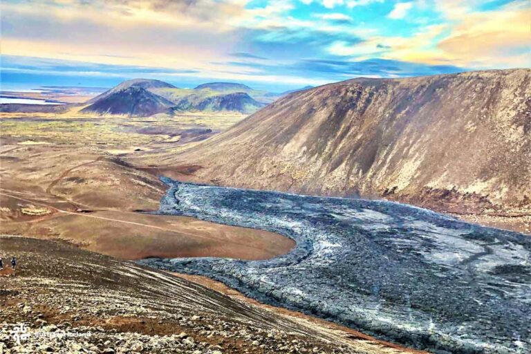
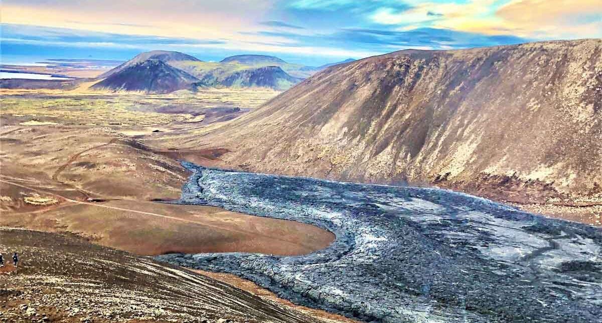
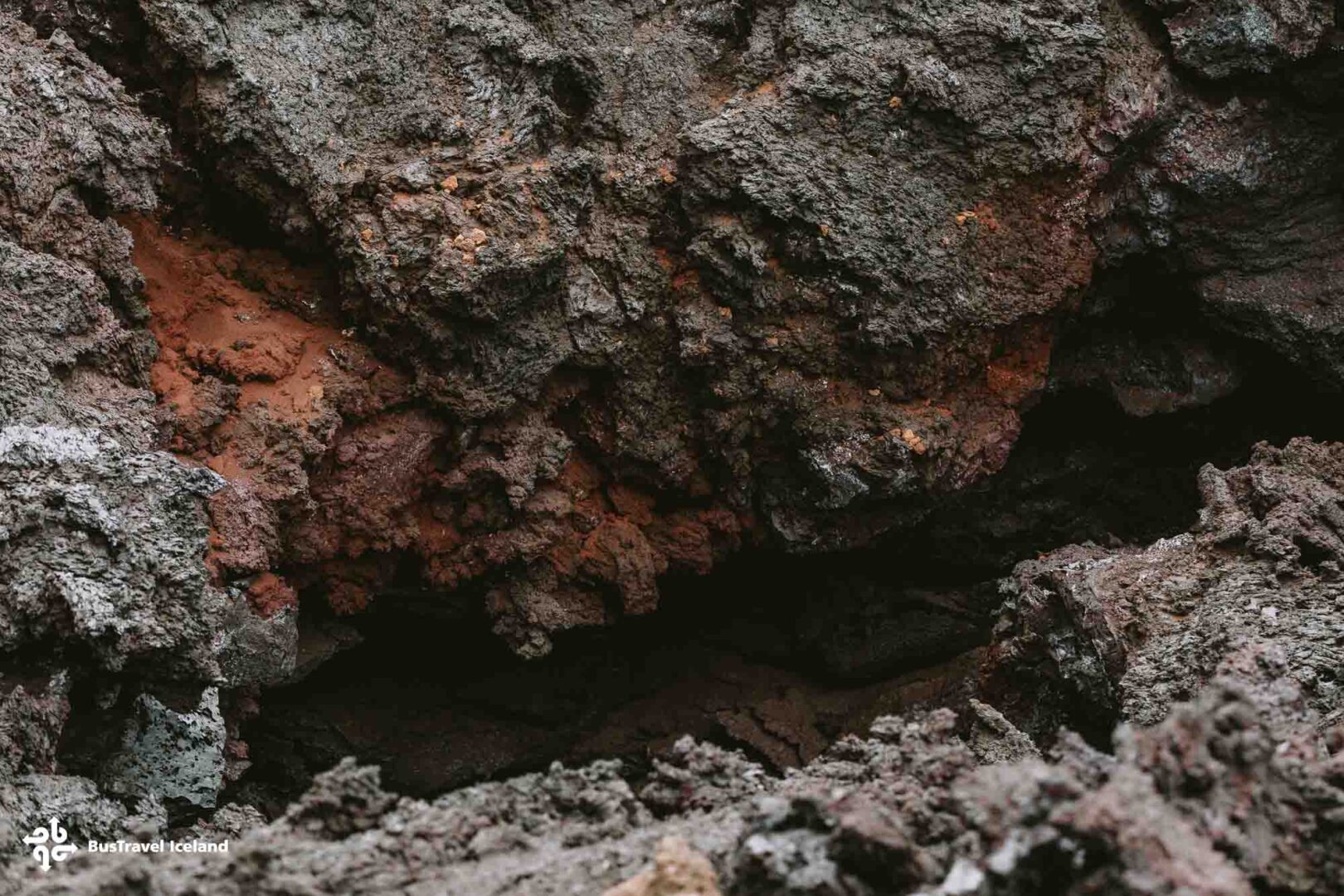
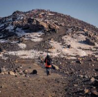
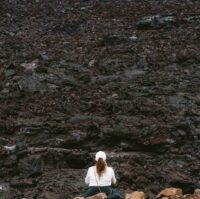
On the drive through Reykjanes, you will have seen moss-covered lava fields formed many thousands of years ago. The new and rapidly cooling lava fields will no doubt resemble them in years to come. We begin our hike and take the available route to the 2021 or 2022 eruptions at Fagradalsfjall and Meradalir Volcanoes. These new lava fields are vast and meet the recently erupted lava from the Litli-Hrut Volcano 2023 eruption.
We hike to the best viewing point, which can vary from day to day due to weather. The hike can take up to 2 hours each way.

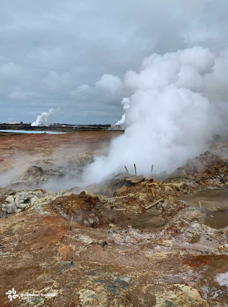
4 Gunnuhver hot springsWe proceed to Gunnuhver Hot Springs, the centerpiece of the UNESCO Global Geopark. This protected geothermal area is highly active, with steam vents and mud pools dotting the landscape.
In myth, the mischievous ghost of Gúðrun or Gúnna was trapped here in the mud pools. Perhaps the violent, barely repressed nature of the area can be explained by the presence of this angry ghost! “Hver” is the Icelandic word for a hot spring. So this is the hot spring of Gunna or Gunnuhver.
Iceland’s largest mud pool is located here and measures 20m in diameter. Like at Seltun, the smelly sulphuric steam lingers over the area.
Geothermal power plants are common in Iceland and Iceland is a world leader in harnessing this raw geothermal energy as well as in renewable energy. The nearby Reykjanes Power Station uses this thermal water for electricity generation and district heating for the locality.

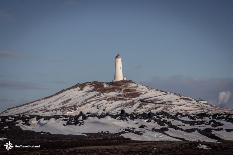
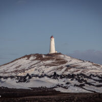
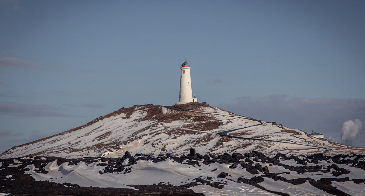
5 Reykjanesviti Lighthouse in the coastal landscapeFrom a distance, the majestic Reykjanesviti lighthouse emerges as a striking feature in the coastal landscape.
Dating from the early 20th century and rising 63 meters above sea level, its dramatic silhouette provides travelers with a perfect photo opportunity—framing the lighthouse against the rugged, untamed landscape.
The surrounding area offers a glimpse of natural wonders: the Valhnúkamöl boulder ridge, impressive sea cliffs, sea stacks, and skerries that provide nesting havens for a variety of seabirds. In the distance, Eldey Island is known for its impressive Northern Gannet colony, while the ever-changing North Atlantic waves continue to shape this dynamic seascape.

6 The Bridge between ContinentsOur last stop of the day is the Bridge between Continents. After witnessing the effects of seismic activity over the course of this day, here is an opportunity to visualize the root cause of all the wonders you have seen.
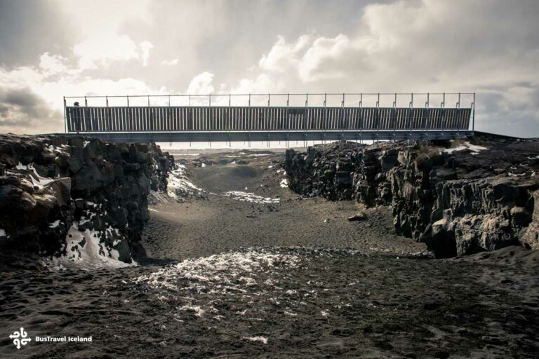
Reykjanes peninsula lies on the Mid-Atlantic Ridge where two major tectonic plates are moving apart from one another, the gap increasing by a few centimeters each year. This location is one of the few locations on earth in which this ridge is above sea level. The bridge between continents is a 15-meter footbridge that gives you a unique opportunity to walk between the two tectonic plates where North America and Europe drift apart.
 Drop-offCentral Reykjavik
We get back on the bus and begin our drive back to the city center which will take just under 1 hour and will see moss-covered lava fields, the remains of past volcanic eruptions in this region scarred and built from seismic activity.




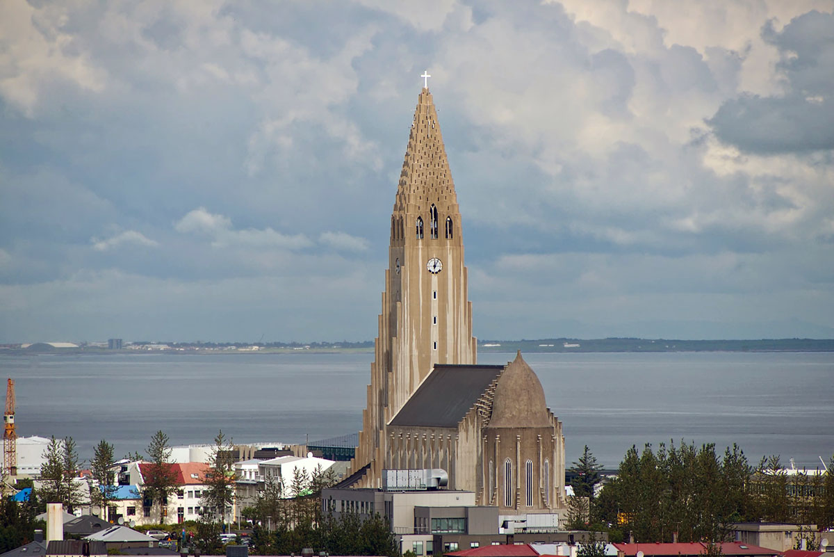
Join the tour at our central Reykjavík meeting point or pay extra for pickup from various approved locations throughout the downtown area. When everyone is on board our comfortable minibus we will then depart from the capital, and begin our exciting road trip with an experienced, knowledgeable tour guide.

(Depending on the duration of the volcano hike, we may skip this stop)
Our first stop of the day is at Lake Kleifarvatn, the biggest lake in the volcanic Reykjanes Peninsula. The lake is surrounded by fascinating geological features such as palagonite and sandstone mountains, formed in ancient subglacial volcanic eruptions.
The lake is rimmed with black basalt beaches and beautiful rock formations sculpted by weather elements throughout the centuries. Kleifarvatn has been severely affected by seismic activity in recent years which led to the lake partially draining. This activity also created a new hot spring in one corner of the lake. The Lake’s folklore gives this stunning place an extra mysterious feeling.

(Depending on the duration of the volcano hike, we may skip this stop.)
Our next stop is at Seltún, where you can view the effect that geothermal waters can have on an environment. Here one can walk along wooden paths winding between boiling and hissing mud pools and streams of natural hot water flowing over the colorful ground and rock. The air is thick with the smell of sulfur emitted from these hot springs. Beneath the surface, the hot water dissolves minerals such as sulfur from the rocks and ground soil, leading to this distinctive stench. Two viewing platforms overhang the area allowing you a 360-degree point of view over the area.

We now reach the main event – hiking to the new volcano eruption site. Normally volcanic eruptions in Iceland occur in very remote and difficult-to-reach locations.
On the drive through Reykjanes, you will have seen moss-covered lava fields formed many thousands of years ago. The new and rapidly cooling lava fields will no doubt resemble them in years to come. We begin our hike and take the available route to the 2021 or 2022 eruptions at Fagradalsfjall and Meradalir Volcanoes. These new lava fields are vast and meet the recently erupted lava from the Litli-Hrut Volcano 2023 eruption.
We hike to the best viewing point, which can vary from day to day due to weather. The hike can take up to 2 hours each way.

We proceed to Gunnuhver Hot Springs, the centerpiece of the UNESCO Global Geopark. This protected geothermal area is highly active, with steam vents and mud pools dotting the landscape.
In myth, the mischievous ghost of Gúðrun or Gúnna was trapped here in the mud pools. Perhaps the violent, barely repressed nature of the area can be explained by the presence of this angry ghost! “Hver” is the Icelandic word for a hot spring. So this is the hot spring of Gunna or Gunnuhver.
Iceland’s largest mud pool is located here and measures 20m in diameter. Like at Seltun, the smelly sulphuric steam lingers over the area.
Geothermal power plants are common in Iceland and Iceland is a world leader in harnessing this raw geothermal energy as well as in renewable energy. The nearby Reykjanes Power Station uses this thermal water for electricity generation and district heating for the locality.

From a distance, the majestic Reykjanesviti lighthouse emerges as a striking feature in the coastal landscape.
Dating from the early 20th century and rising 63 meters above sea level, its dramatic silhouette provides travelers with a perfect photo opportunity—framing the lighthouse against the rugged, untamed landscape.
The surrounding area offers a glimpse of natural wonders: the Valhnúkamöl boulder ridge, impressive sea cliffs, sea stacks, and skerries that provide nesting havens for a variety of seabirds. In the distance, Eldey Island is known for its impressive Northern Gannet colony, while the ever-changing North Atlantic waves continue to shape this dynamic seascape.

Our last stop of the day is the Bridge between Continents. After witnessing the effects of seismic activity over the course of this day, here is an opportunity to visualize the root cause of all the wonders you have seen.
Reykjanes peninsula lies on the Mid-Atlantic Ridge where two major tectonic plates are moving apart from one another, the gap increasing by a few centimeters each year. This location is one of the few locations on earth in which this ridge is above sea level. The bridge between continents is a 15-meter footbridge that gives you a unique opportunity to walk between the two tectonic plates where North America and Europe drift apart.

We get back on the bus and begin our drive back to the city center which will take just under 1 hour and will see moss-covered lava fields, the remains of past volcanic eruptions in this region scarred and built from seismic activity.
